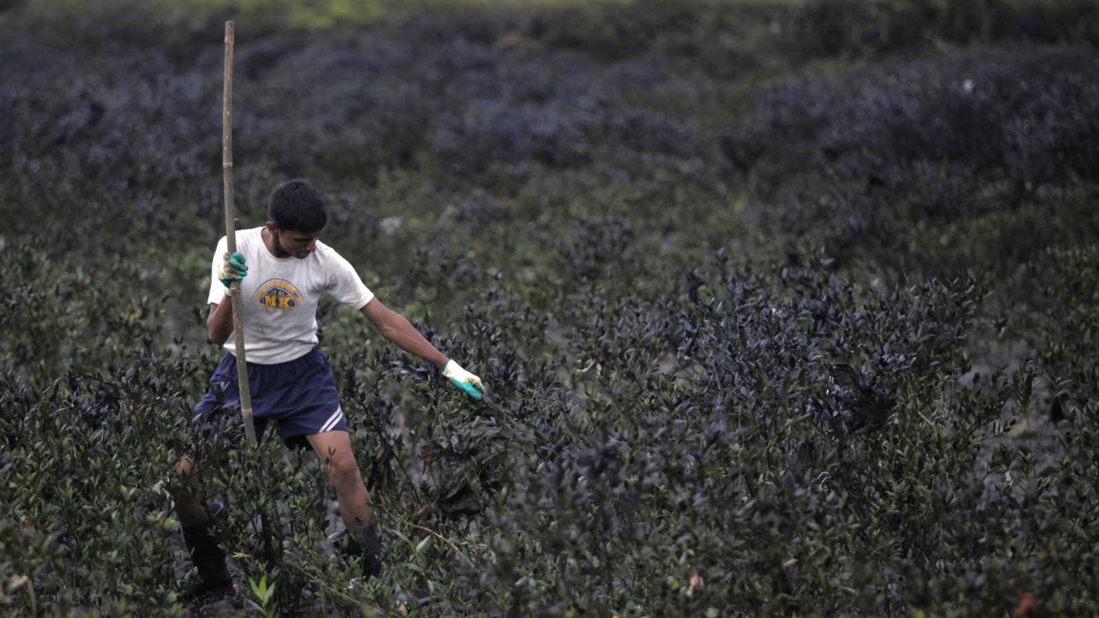
The Indian space agency has joined hands with the government of the state of Maharashtra to protect mangroves, a vital part of the region’s ecology and vegetation.
The Indian Space Research Organisation (ISRO) will use its satellites to track and record the status of mangroves in Mumbai, the capital of Maharashtra, and along parts of the Konkan coastline. ISRO will do this through real-time satellite imagery, N Vasudevan, chief conservator of forest, Maharashtra’s state mangrove cell, told the Hindustan Times.
This will be the first such venture for ISRO and the western Indian state.
“Monitoring the destruction of mangroves by physically entering the forests has its limitations,” Vasudevan said. “The idea is to track destruction as it happens through satellite images from the confines of a room, and reduce the time gap for taking action in such cases,” he added.
The project with ISRO will cost Maharashtra Rs40 lakh, according to Vasudevan. The space agency will provide real-time satellite maps to the state forest department, which will then use ISRO’s open source software to track mangroves.
An email sent by Quartz to ISRO seeking details of the tie-up was unanswered at the time of publishing this story.
Vital vegetation
Mangroves are a group of shrubs or trees that flourish in the saline and brackish waters on coasts. Besides being a natural wall against floods and tsunamis, they also prevent soil erosion and maintain water quality and clarity. They are also a breeding ground for a variety of life forms like shrimp and other crustaceans.
They are vital to a metro like Mumbai which is a peninsula. Over the past few years, the city has faced severe and regular flooding during the monsoon rains. The year 2005 saw one of the worst such natural disasters, resulting in the deaths of around 1,500 people. These floodings have been attributed to depleting mangroves in the region.
The city’s rapid expansion has eaten into its surrounding wetlands which are rampantly filled with concrete and debris to create space. Popular commercial areas like the Bandra-Kurla Complex, for instance, were built on erstwhile mangrove forests in the 1980s. Due to such wanton destruction of the vegetation, flood waters do not easily recede now, leaving the city marooned during rains.
Encroachment and destruction
Maharashtra has over 15,000 hectares of mangroves, of which around 5,771 hectares are in Mumbai. The state has declared its mangroves as reserved forests. In 2005, the Bombay high court banned their destruction or cutting. Yet, illegal construction is rampant. According to estimates by environmentalists, around 15-20% of the mangroves in Mumbai, Navi Mumbai, and along the Konkan coast have been lost, despite the court ban.
So, apart from the real-time tracking, Maharashtra has also announced fencing some areas in Mumbai at the cost of Rs6 crore to stop the city’s mangroves from being encroached upon.
