China successfully launched a Gaofen optical observation satellite Sunday toward a perch more than 22,000 miles over the equator, where it will use an Earth-facing telescope to collect remote sensing images, Chinese state media said.
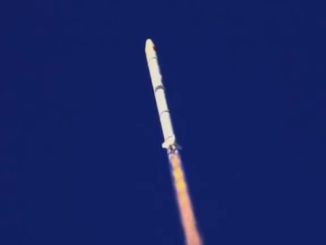
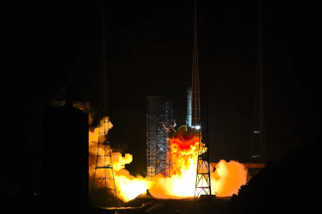
The Gaofen 13 satellite took off at 1657 GMT (12:57 p.m. EDT) Sunday aboard a Long March 3B rocket from the Xichang space base, located in Sichuan province in southwestern China, according to the China Academy of Launch Vehicle Technology, or CALT.
The 184-foot-tall (56-meter) Long March 3B rocket delivered the Gaofen 13 spacecraft to an elliptical, or egg-shaped, orbit ranging between 113 miles (183 kilometers) and 22,267 miles (35,836 kilometers) above Earth, with an inclination of 28.5 degrees to the equator, according to independent U.S. military tracking data.
Chinese officials declared the Long March 3B’s mission a success. It was China’s 30th orbital launch attempt so far in 2020, including four launch failures.
In the coming weeks, Gaofen 13 will circularize its orbit at geosynchronous altitude more than 22,000 miles up. Once it reaches its operational position, the satellite will move around Earth at the same rate of the planet’s rotation, giving the craft’s optical telescope a continuous view of the same region.
Gaofen 13 is believed to be an upgraded version of the Gaofen 4 satellite, China’s first sharp-eyed geosynchronous observation satellite. Gaofen 4 launched in 2015 and carried an instrument with a resolution of about 50 meters (164 feet), good enough to allow the satellite to see an oil tanker steaming across the ocean.
Chinese officials did not disclose the resolution of Gaofen 13’s instrument, but it’s likely more capable than the telescope on Gaofen 4.
China also did not reveal Gaofen 13’s coverage zone. Gaofen 4’s orbit is centered on the equator at 105.5 degrees east longitude, providing views of the Asia-Pacific region.
“This satellite will serve economic development by providing information services,” China’s state-run Xinhua news agency said. “It will mainly be used for land surveys, crop yield estimations, environmental protection, weather forecasting, and early warnings, as well as disaster prevention and mitigation.”
Email the author.
Follow Stephen Clark on Twitter: @StephenClark1.